Hart Island
Cemetery · Bronx
At the western end of Long Island Sound, off the northeast Bronx, lies Hart Island, a narrow island about a mile long in the Pelham Islands that serves as New York City's public cemetery.
- 0.18 square miles
- 8 street corners
Its first public use came in 1864, as a training ground for the United States Colored Troops, and burials began in 1869; more than a million people now rest in its graves. Jurisdiction over the island passed to NYC Parks in 2021, and in 2023 the City opened it to visitors, who register in advance and arrive by ferry.
Sources: Hart Island (Wikipedia); Hart Island (Atlas Obscura).
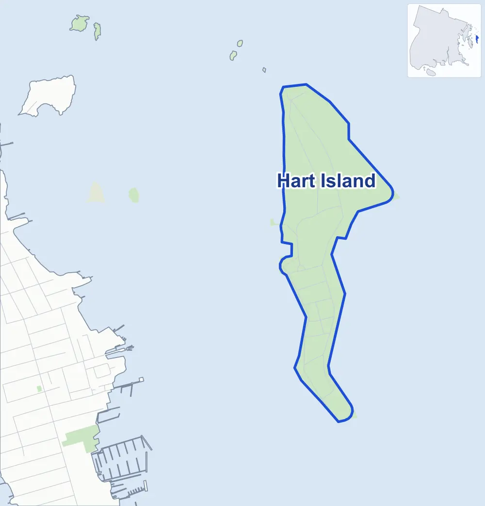
- Hart Island
- A neighboring area
- Park
Neighborhood areas and streets: NYC Department of City Planning. Parks: NYC Parks. Stations: MTA.
Safety record
Between 2021 and 2025, police reported zero crashes at all 8 of its corners.
Camera tickets
In 2025 the Department of Finance recorded no red-light, school-zone speed or bus-lane camera ticket at its corners.
Parks
- Parkland
- 0.7 acre of Pelham Bay Park, as NYC Parks maps it within Hart Island
Streets and trees
- Trees
- 1,771 in NYC Parks' records, most often black cherry, mulberry and black locust
- Street with the most corners
- Channel View Road, with six of the area's 8
- Height above sea level
- From 6 feet at Channel View Road & Gazebo Lane to 17 feet at Soundview Road & Channel View Road
Street corners
- Channel View Road & Compound Way
- Channel View Road & Dock Road
- Channel View Road & Gazebo Lane (north-east)
- Channel View Road & Gazebo Lane (south-west)
- Soundview Road & Channel View Road (north-west)
- Soundview Road & Channel View Road (south-east)
- Soundview Road & Compound Way
- Soundview Road & Main Street
How the figures above are measured: Methodology.