Rikers Island
Island · Bronx
Rikers Island lies in the East River close to the runways of LaGuardia Airport; though politically part of the Bronx, it is reached by road only over a bridge from Queens.
- 0.65 square miles
- 15 street corners
- 1 bus route
It is named for Abraham Rycken, who took possession of it in 1664, and his descendants held it until the city bought it in 1884. Once under 100 acres, the island has grown to more than 400, and since 1932 it has been the main base of operations of the city's Department of Correction. In 2019 the City Council voted to close the island's jails and replace them with new jails in four boroughs.
Sources: Rikers Island (Wikipedia); Department of Correction: 125th anniversary timeline (NYC Department of Correction); Department of Correction: Facilities Overview (NYC Department of Correction); Legal deadline to close Rikers Island reaching one-year countdown (New York Amsterdam News).
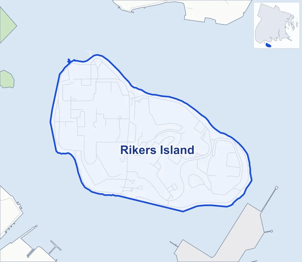
- Rikers Island
- A neighboring area
- Park
Neighborhood areas and streets: NYC Department of City Planning. Parks: NYC Parks. Stations: MTA.
Getting around
One bus route stops in or at the edge of Rikers Island.
- 1 local bus route
Local bus route
- Q100
Safety record
Between 2021 and 2025, police reported zero crashes at all 15 of its corners.
Camera tickets
In 2025 the Department of Finance recorded no red-light, school-zone speed or bus-lane camera ticket at its corners.
Streets and trees
- Street with the most corners
- Rikers Island Access Road, with seven of the area's 15
- Height above sea level
- From 18 feet at Rikers Island Access Road & Rikers Island Interior Facility Road to 39 feet at Rikers Island Access Road & Rikers Island Path
Street corners
- Executive Road & Hazen Street
- Executive Road & Rikers Island Connector Road
- Rikers Island Access Road & Executive Road
- Rikers Island Access Road & George R Vierno Center Access Road (north)
- Rikers Island Access Road & George R Vierno Center Access Road (south)
- Rikers Island Access Road & Rikers Island Interior Facility Road
- Rikers Island Access Road & Rikers Island Path
- Rikers Island Bridge & Rikers Island Access Road
- Rikers Island Bridge & Rikers Island Access Road at Hazen Street
- Rikers Island Interior Facility Road & Executive Road (north-west)
- Rikers Island Interior Facility Road & Executive Road (south-east)
- Rikers Island Interior Facility Road & Hazen Street
- Rikers Island Interior Facility Road & Mandanici Road (east)
- Rikers Island Interior Facility Road & Mandanici Road (west)
- Rikers Island Interior Facility Road & Rose M Singer Center Access Road
How the figures above are measured: Methodology.