Barren Island-Floyd Bennett Field
Park · Brooklyn
Barren Island-Floyd Bennett Field is parkland off Flatbush Avenue on the Jamaica Bay shore of southeastern Brooklyn.
- 1.96 square miles
- 5 street corners
- 1 bus route
Barren Island was once an isolated marshland settlement whose workers rendered city garbage into grease and turned dead horses into goods such as gloves and buttons; in the 1920s sand pumped from the bay filled the channels around it, joining it to Brooklyn. Floyd Bennett Field, named for the pilot of Richard E. Byrd's 1926 North Pole flight, opened in 1931 as the city's first municipal airport and became part of Naval Air Station New York in 1941. Its old terminal is now Gateway National Recreation Area's Ryan Visitor Center.
Sources: Floyd Bennett Field History (National Park Service); Work and Life on Barren Island (National Park Service); Floyd Bennett Field (National Park Service); Floyd Bennett Field (Wikipedia).
Barren Island-Floyd Bennett Field borders one area.
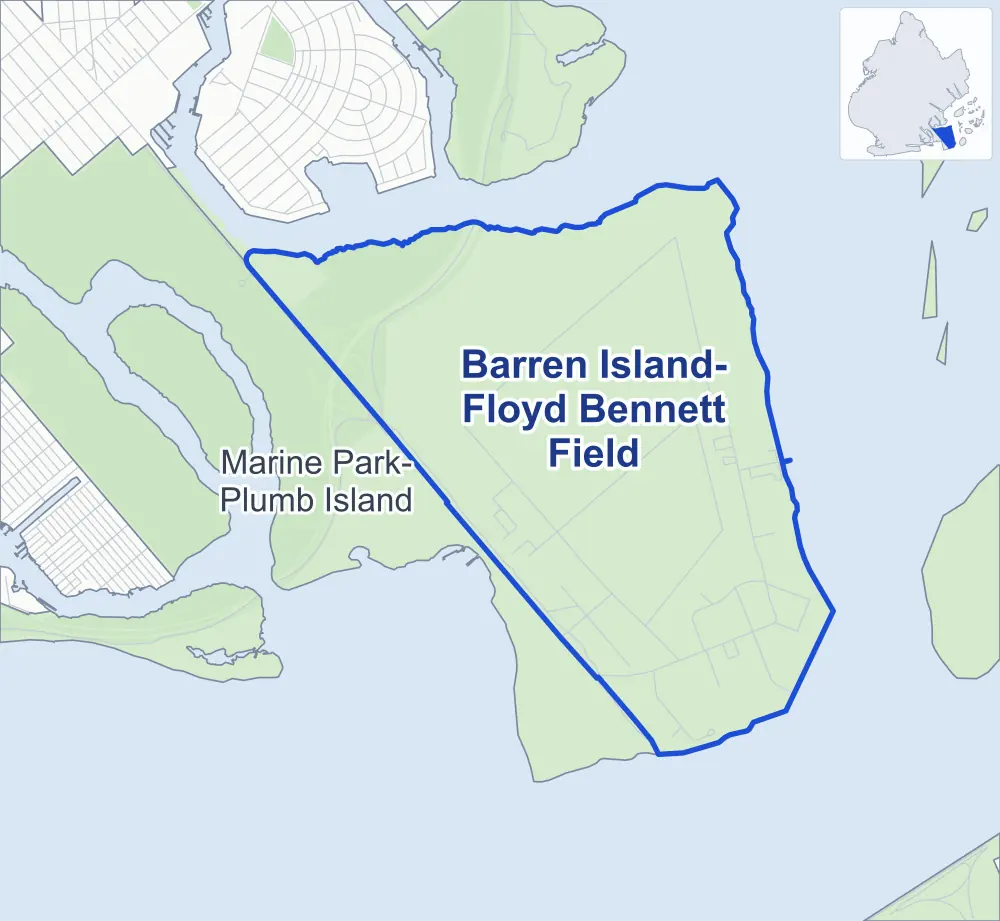
- Barren Island-Floyd Bennett Field
- A neighboring area
- Park
Neighborhood areas and streets: NYC Department of City Planning. Parks: NYC Parks. Stations: MTA.
Neighboring areas
Getting around
One bus route stops in or at the edge of Barren Island-Floyd Bennett Field.
- 1 local bus route
Local bus route
- Q35
Safety record
Between 2021 and 2025, its corners averaged more police-reported crashes than the average Brooklyn corner.
- 68 police-reported crashes at its corners
- 13.6 a corner, on average
- 10.5 the average Brooklyn corner
- 2 corners with a clean record
Camera tickets
In 2025 the Department of Finance recorded no red-light, school-zone speed or bus-lane camera ticket at its corners.
Parks
- Parkland
- 48.8 acres of Four Sparrow Marsh, as NYC Parks maps it within Barren Island-Floyd Bennett Field
Streets and trees
- Trees
- 186 in NYC Parks' records, most often London planetree, Japanese pagoda tree and red maple
- Height above sea level
- From 10 feet at Aviation Road & Ranger Road to 17 feet at Flatbush Avenue & Aviation Road
Street corners
How the figures above are measured: Methodology.