Canarsie Park & Pier
Park · Brooklyn
Canarsie Park & Pier is shoreline parkland, not a residential neighborhood, stretching along Jamaica Bay on the water side of the Belt Parkway between Paerdegat Basin and Fresh Creek.
- 0.41 square miles
- 5 street corners
- 1 bus route
Canarsie Pier, at the foot of Rockaway Parkway, was built in 1926 as a 250-yard dock on a shore where the Canarsie people once launched canoes into the bay. Today the National Park Service runs the pier as part of Gateway National Recreation Area, with a fishing pier, picnic area, playground and kayak launch at a spot anglers have used for more than 300 years, and the Belt Parkway, dedicated in 1940, runs along its inland edge.
Sources: Canarsie Pier (National Park Service); Canarsie, Brooklyn (Wikipedia); Belt Parkway (NYC Roads).
Canarsie Park & Pier borders one area.
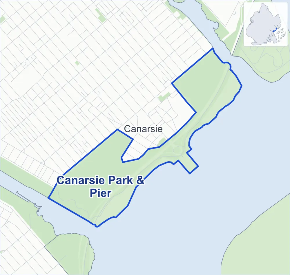
- Canarsie Park & Pier
- A neighboring area
- Park
Neighborhood areas and streets: NYC Department of City Planning. Parks: NYC Parks. Stations: MTA.
Neighboring areas
- Canarsie north
Getting around
One bus route stops in or at the edge of Canarsie Park & Pier.
- 1 local bus route
Local bus route
- B17
Safety record
Between 2021 and 2025, its corners averaged more police-reported crashes than the average Brooklyn corner.
- 155 police-reported crashes at its corners
- 31.0 a corner, on average
- 10.5 the average Brooklyn corner
- 3 corners with a clean record
Signal or safety changes on City record, at one of its corners
- Accessible pedestrian signals
- 1
Camera tickets
In 2025 the Department of Finance recorded no red-light, school-zone speed or bus-lane camera ticket at its corners.
Parks
- Parkland
- 130.2 acres of Canarsie Park, as NYC Parks maps it within Canarsie Park & Pier
Streets and trees
- Trees
- 789 in NYC Parks' records, most often London planetree, swamp white oak and Japanese flowering cherry
Street corners
How the figures above are measured: Methodology.