McGuire Fields
Park · Brooklyn
On the eastern shore of Bergen Beach, McGuire Fields, also known as Joseph T. McGuire Park, is parkland rather than a residential neighborhood, set along Bergen Avenue between Avenue V and the Shore Parkway, part of the Belt Parkway, which was dedicated in 1940.
- 0.38 square miles
- 1 street corner
Bergen Beach was once an island, renamed for the early settler Hans Hansen Bergen, and landfill had joined it to the rest of Brooklyn by 1918. From 1896 to 1919 Percy G. Williams and Thomas Adams ran an amusement park at Bergen Beach, though much of the neighborhood beside the park was built up only in the 1990s.
Sources: Bergen Beach, Brooklyn (Wikipedia); Belt Parkway (NYC Roads).
McGuire Fields borders one area.
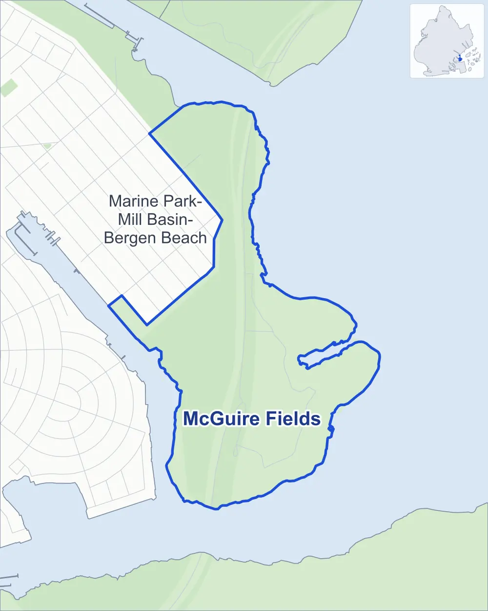
- McGuire Fields
- A neighboring area
- Park
Neighborhood areas and streets: NYC Department of City Planning. Parks: NYC Parks. Stations: MTA.
Neighboring areas
- Marine Park-Mill Basin-Bergen Beach northwest
Safety record
Between 2021 and 2025, police reported 19 crashes at its one corner; the average Brooklyn corner had 10.5.
Camera tickets
In 2025 the Department of Finance recorded no red-light, school-zone speed or bus-lane camera ticket at its corners.
Parks
- Parkland
- 70.8 acres of McGuire Fields, as NYC Parks maps it within the area's boundary
Streets and trees
- Trees
- 230 in NYC Parks' records, most often red maple, maple and willow oak
The corner
How the figures above are measured: Methodology.