Calvary & Mount Zion Cemeteries
Cemetery · Queens
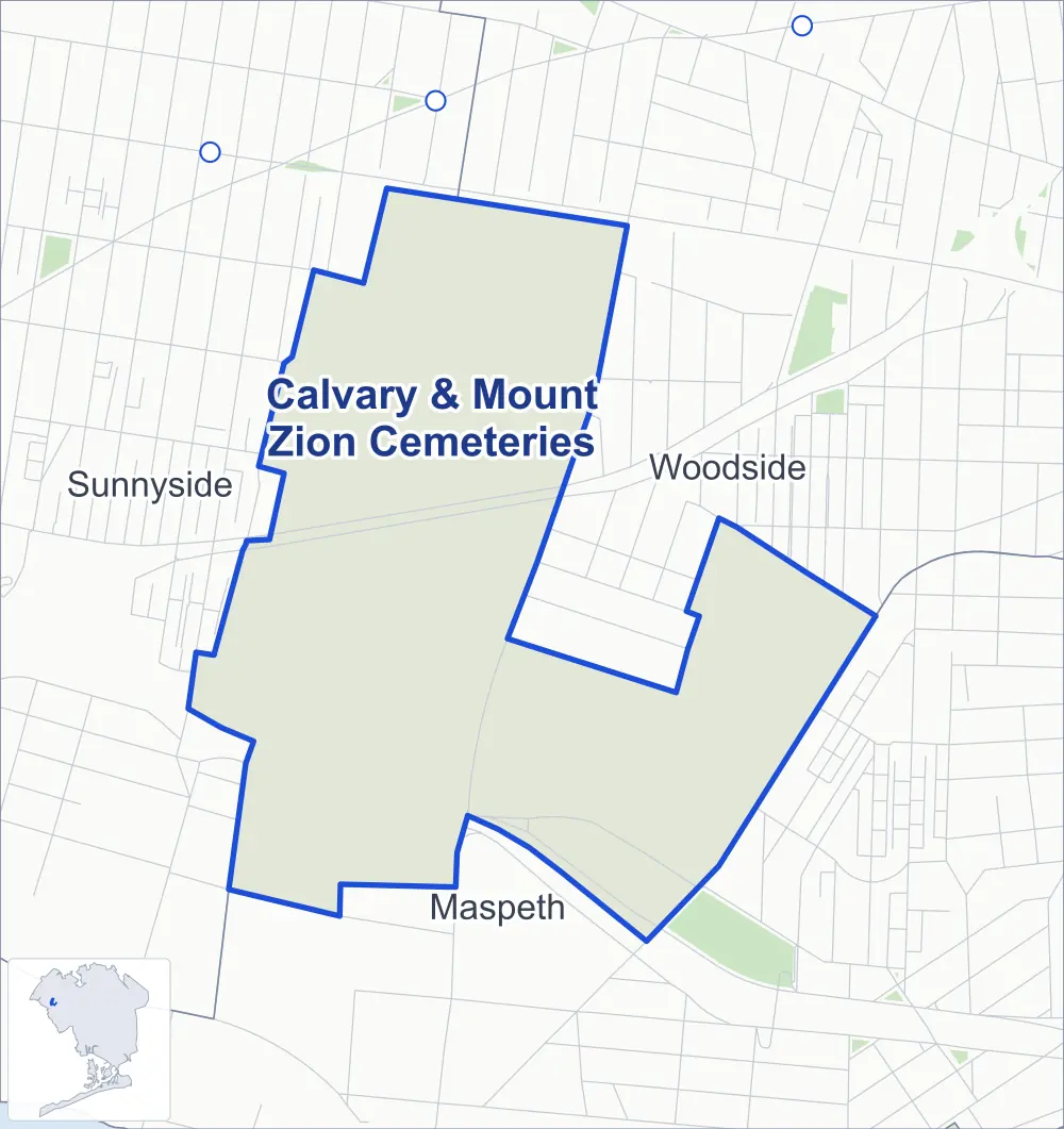
Calvary & Mount Zion Cemeteries spans the burial grounds east of the Brooklyn-Queens Expressway where Woodside meets Maspeth, around the expressway's junction with the Long Island Expressway.
- 0.51 square miles
- 1 street corner
- 4 bus routes
It holds the later divisions of Calvary Cemetery, the Catholic cemetery established by the Trustees of St. Patrick's Cathedral and consecrated in 1848, which has grown to 365 acres; its oldest division lies just to the west. Beside it is Mount Zion Cemetery, a Jewish cemetery whose first burial took place in 1893 and whose roughly 78 acres are divided into hundreds of plots held by synagogues, families and hometown societies.
Sources: Calvary Cemetery (Calvary & Allied Cemeteries); Calvary Cemetery (Queens) (Wikipedia); Mount Zion Cemetery (New York City) (Wikipedia).
Calvary & Mount Zion Cemeteries borders three areas.
Getting around
Buses on four routes stop in or at the edge of Calvary & Mount Zion Cemeteries.
- 4 local bus routes
Local bus routes
- B24
- Q39
- Q60
- Q67
Safety record
Between 2021 and 2025, police reported 1 crash at its one corner; the average Queens corner had 5.2.
Camera tickets
In 2025 the Department of Finance recorded no red-light, school-zone speed or bus-lane camera ticket at its corners.
Streets and trees
- Trees
- 88 in NYC Parks' records, most often thornless honeylocust, Norway maple and Japanese flowering cherry
Bike share
By the station list of October 3, 2026, two bike-share stations stand in Calvary & Mount Zion Cemeteries.
- 2 bike-share stations
The corner
How the figures above are measured: Methodology.